Monday, May 31, 2010

May 31--- Durango, CO


PICTURES: 1. lunch at campground on Florida river in San Juan National Forest; 2. Florida river; 3. home; 4. mineral hot springs on the mountainside

It appears I have some "catching up" to do here. May 29, Saturday, we left Torrey and drove to Durango, CO (around 300 miles). We traveled scenic hwys 24, 95, and 191 in Utah--great area. We passed through part of the Glen Canyon Rec Area which is a great place. In fact, that area would be good to explore.

We came into CO on hwy 491 and 160. We are staying at Durango River Rv Resort which is 12 miles north of Durango on hwy 550 on the Animas river. It was very crowded and noisy over the Holiday weekend but has cleared out today. Yesterday, Sunday, we bought groceries, etc, and ate lunch in Durango.

Today we drove up the Florida river (yes it is in Colorado) into the mountains above Durango to the Lemon Reservoir and above. Very rocky, rocky rocky road. Planning to head to Silverton tomorrow (day trip).

Friday, May 28, 2010

May 28--Torrey: Wild Horse Mesa, Bentonite hills


PICTURES: 1. Factory Butte; 2.- 4. Bentonite hills on Wild Horse Mesa road on the San Rafael Swell.


This is our last day in Utah and we have thoroughy enjoyed it. The weather has been cool (with some snow), mostly sunny and very windy. Besides the stories posted, we especially liked Dead Horse Point SP, Goblin Valley SP, Calf Creek Rec Area, and Pleasant Creek campground on Boulder Mtn. Not explored but of interest is the San Rafael County area.

May 27--Torrey: Wild Horse Mesa trail and Bentonite canyons


PICTURES: Little Wild Horse Canyon. Pictures of Bentonite canyons posted on May 28.

It is getting hard to tell which adventure is the best, but today's was right up there with the greatest. We left early (for us, 7:30) and headed east on hwy 24 to east of Hanksville near Goblin Valley State Park. Five miles down the road to Wild Horse Mesa is the trailhead to Little Wild Horse Canyon, a genuine slot canyon. It is a half mile trail up a wash, a dry creek bed, to the canyon and WOW is all I can say. Beautiful, colored sandstone walls 100 to 150 feet high and in places less than 3 feet wide. It is 1 to 1 1/2 miles long until another dryfall at the end.

After resuming the trail, we were in the desert on the San Rafael Swell. We drove through miles and miles of Bentonite hills and canyons. It looked so "otherworldly" and was fascinating. Gary climbed down in the bentonite canyons and said he would like to spend a day following these canyons down deeper and deeper.

Wednesday, May 26, 2010

May 26--Capitol Reef


PICTURES: 1. Switchbacks down Waterpocket Fold on Burr trail; 2.-4. Striker Valley in Capitol Reef NP from the top of Waterpocket Fold; 5. what's required for a shady lunch spot in the desert

May 25--Capitol Reef, Burr Trail


PICTURES: 1-3 Wolverine Creek slot canyon; 4. Long Canyon on Burr trail


This was another great adventure day!. Yesterday was very windy and cold so Gary's tire run was our only outside activity. The old tire was ruined, but a new one has us on the road again.

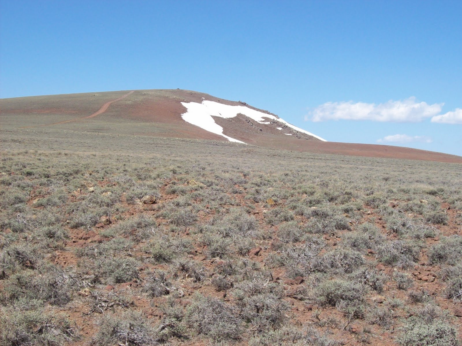
Today we drove around 200 miles, round trip, down hwy 12 to Boulder Town and then onto the Burr Trail that traverses part of Grand Staircase and Capitol Reef. It is partially paved (much appreciated) and then gravel; it crosses the Waterpocket Fold with a series of steep switchbacks. We had a great drive and the views were outstanding. The trail follows Long Canyon, a narrow red cliff beauty, for several miles. We were told about an unmarked side canyon (N 37º 51.89', W 111º 18.037') that we found and it was great.

We turned on a side trail, Wolverine Canyon, and found our first real slot canyon. We had rough directions and managed to find a place where we could slither down into it. Really cool and creepy. Glad we have long legs and not any fatter than we are. We twisted along the canyon for over 1/4 mile before it was blocked. Finding these canyons (N 37º 48.18', W 111º 11.96') would be a great activity for little and big boys.

After driving 'unknown' tracks in the desert, we made it to Muley Twist Canyon. It's a rough, rocky 3 mile drive up a side canyon in the middle of the Fold. There are 3 very nice arches on the canyon walls along the 'road'. At the end, a hiking trail leads to Striker Valley overlook. I probably would have stayed in the jeep if I had known that we had to climb to the top of the cliffs, but it was worth all the slickrock. The view is magnificent. You are on top of the Waterpocket Fold and can see in both directions for 20 miles or so --unbelievable.

We then progressed along Burr Trail to the switchbacks down the Fold into the valley. They were built (somehow) by a pioneer rancher to get his cattle to market. Man these people were determined.

More pictures of this trip are posted on May 26.

Sunday, May 23, 2010

May 22--Capitol Reef


PICTURES: more scenes from Cathedral Valley, Capitol Reef NP

This was supposed to be a rest day because the wind is so strong I didn't think I wanted to risk stepping out of the motorhome. But a leak in the water heater sent us scurrying to Loa looking for parts. Gary got a new plug and fixed it in a jif. Did laundry in the afternoon at the General Store in Torrey. This weekend was evidently BMW Bike Weekend in Torrey and all of them were staying at the cabins next to the laundromat.

May 23--Grand Staircase National Monument


PICTURES: 1. if you have to change a tire, it needs to be in such a beautful place on the Escalante River; 2.-4. Devils Garden, Grand Staircase NM; 5. canyon view from hwy 12 in Grand Staircase.

Utah Hwy 12 is billed as a 'scenic highway' and 'All American Hwy'. Normally, I take these designations with a grain of salt, but this time I have to admit that this road is simply a fantastic drive. It starts in Torrey and goes through Bryce Canyon. We drove the road from Torrey to Escalante,UT. The section from Boulder to Escalante is through the Grand Staircase/Escalante National Monument. Wonderful, wonderful canyon views is the only way to describe it.

We also drove the gravel road "Hole in the Rock" which runs across the NM turning south off hwy 12 at mile 65. The road was rough, washboard and not as scenic as claimed. We only drove 11 (out of 55) miles to Devils Garden just off the main road. It was a great grouping of hoodoos and slickrock. One great camping spot in the NM isj Calf Creek Recreation Area". Its down in the bottom of a small red canyon with a stream. Very scenic and even has a trail to a tall waterfall.

On the return trip, we discovered a leaking tire. Gary changed it in record time and we were back on the road. Now tomorrow will be a trip to the garage in Loa, UT, the county seat in the area with a total of 525 people.

Friday, May 21, 2010

May 21--Torrey, Utah (Aquarius Plateau)


PICTURES: 1. Big Lake reservoir; 2. Top down but so windy and cold had to put windows in; 3. Wind on top of knoll in picture 4; 4. Just had to try side trail up knoll.


The vicious winds returned today and are promised to continue through tomorrow. Ugh, I'm really glad I'm not in a tent!

Ignoring the wind, we headed out this morning for a drive on the Acquarius Plateau. More geology notes (for me): Roughly centered on the Four Corners region of the Southwest U.S. is the Colorado Plateau which is nicknamed Red Rock Country. The Acquarius Plateau is an uplift on the much larger Colorado Plateau. The Acquarius is the highst plateau in North America with over 50,000 acres of mostly forested highland over 11,000 feet.

Our plan was for a 60 mile loop running along the Plateau. But the higher we went the more snow we encountered until after about 25 miles the road was snow covered and even Gary decided it might be a bad idea to continue. It was a very interesting drive; very different from other areas here.

Thursday, May 20, 2010

May 20--Capitol Reef NP


PICTURES: 1. Cottonwood trees at Fruita; 2. Fruita; 3. Fruita school house; 4. and 5. petroglyphs on the canyon wall about 10 feet off the ground

We rested today and explored the historical town of Fruita in the NP. This small community was established by the Mormon pioneers in 1880. It is in a small, narrow valley next to the monocline where two small rivers (creeks in the rest of the watery world) come through the valley. The orchards that the Mormons planted with irrigation ditches are still being cultivated in the Park. There are also petroglyphs on the canyon walls dating about 1000 years (so they think) to the Fremont Indians.

May 19--Capitol Reef NP


PICTURES: 1.-3. Cathedral Valley, Capitol Reef NP; 4. Glass mountain (unusual outcropping of gypsum crystals; 5. Temples of the Sun and Moon in Cathedral Valley

Our adventure today was a drive through the Cathedral Valley in Capitol Reef. It is a 55 mile loop through the northern part of the Park; it's a high-clearance dirt road (took us about 7 hours). The road begins with crossing the Fremont River and then travels through desert in the Valley. We don't have a picture of the river crossing, because we discovered that camera wasn't working just as we stopped at the river (turned out to be only a battery problem, whew). Great drive, but we are always ready to quit jostling around in the jeep and sack out in the motorhome.

Tuesday, May 18, 2010

May 17--Capitol Reef NP


PICTURES: 1. Grand Wash trail; 2. and 3. our new Japanese friends (Kinuyo and Shinitsu Araki); 4. Grand Wash

This is UPS delivery day for the new GPS! On the first day at Moab the old GPS decided to retire. We planned to make a short trip in the morning to be sure and be at the RV park to catch the delivery man. We have found a GPS to be very comforting on treks in the desert.

We hiked the Grand Wash trail at Capitol Reef. Easy trail that follows a wash (remember, dry creek bed in Arkansas) in a deep canyon. The canyon narrows down to maybe 20 feet wide with 400 foot walls. It was a great hike, but I had read that it was a slot canyon (a narrow canyon where you can touch both walls with your outstretched arms). That just shows you can't believe everything you read. Now I'm still on a hunt for a slot canyon! As we were hiking the trail, we met Shinitsu and Kinuyo. We were very surprised to see each other again and had another nice visit!

We are proud owners of a new Garmin Trek (hand-held) GPS.

Sunday, May 16, 2010

May 16--Capitol Reef National Park, Torrey, Utah


Pictures: 1. Tantalus creek crossing, spring water coming from rock; 2. lunch on the rim; 3. Tantalus Canyon; 4. red cliffs

We are exploring a new place! We haven't been to Capitol Reef NP before and are enjoying learning about this area. I don't remember where it got the name Capitol Reef because the main feature is a Waterpocket Fold. For those of you, like me, who are not geologists that is a giant buckle in the Earth's crust that stretches across south-central Utah. It is a classic monocline! I love this geology stuff. Anyway, it is a big jumble of colorful cliffs, massive domes, soaring spires, stark monoliths, twisting canyons, and graceful arches (taken straight from the Park brochure).

We are staying in a no-frills park about 5 miles west of the NP. But we like it here; the owners are friendly, its quiet, small, and cheap (Gary's main concern). Sounds like a winner to me. Before starting out on our adventure of the day, we stopped at the local visitor center in Torrey (the population might be 50). An older lady was manning the center (and this is just for you Dana) and we got into a conversation with her. What do you know--she was from Greenbrier and Scottsboro. Her father was a civil engineer and worked on the Tennessee river dams. She met her husband at Redstone Arsenal. They moved to Utah in 1974 to work on the shuttle. So many people have interesting 'back stories'.

Back to the main story line...We drove Tantalus Creek trail from Boulder Mtn into the NP. It was a 10 for scenery (Gary rates it an 8). We crossed the Tantalus Creek and the Pleasant Creek as well as rocky mountain ledges, but I'm getting better; didn't close my eyes a single time.