Thursday, July 1, 2010

June 30--South Fork, Colorado

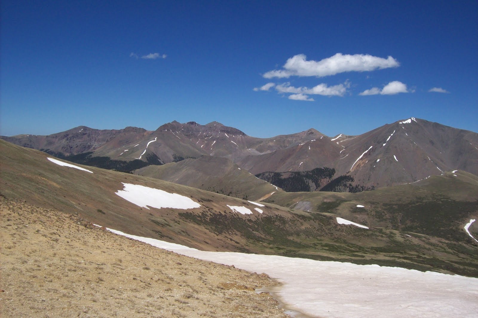
We had a great day to finish out the month of June!  We drove the Stony Pass trail; this is a pass in the San Juans north of Creede.  It is 12,580' on the continental divide and is the source of the Rio Grande river.  In the 1860's through 1870's it was the main road into Silverton and thousands of gold and silver mine camps.  It is now a rouh 4wd recreational road from hwy 149 between Creede and Lake City going over the pass to Silverton.  We drove to the pass only (40 miles from the pavement on hwy 149) and didn't go on into Silverton.  We also drove a side road about 4 miles from the Pass called Beartown road.  It follows Bear Creek to Kite Lake (end of road at 11,500').  We didn't find any signs of the mine town but the lake was simply beautiful.  The roads were very rough and slow.  12 hours on the road today! We were dusty and tired but saw many fantastic things.

PICTURES:  1.Gary on the trail; 2.scene from the trail; 3.Stony Pass;4. Kite Lake standing on  mine tailing; 5.  Kite Lake; 6. waterfall into Kite

Monday, June 28, 2010

June 28--South Fork, Colorado

Another great adventure day today.  We planned to make a loop through the Rio Grande Forest that we/'ve done before so we weren't too excited. It encompassed several gravel roads to Summitville, an abandoned mining camp, and Grayback Mountain.  A few miles down Park Creek Road we decided to explore a small side road.  It immediately crossed Park Creek and just got better from there.  This rough, rocky track climbed into the mountains through creeks and mud holes to 12000 feet.  It was made even more exciting because evidently the national forest service does not see the need to mark the roads.  They sell you a map of the forest with forest road numbers but there are no corresponding signs on the roads--fun.  Two hours and lots of bumping later we actually came out on the right road.

Another unexpected surprise was a road to the top of Grayback Mountain--definitely a 4wd road but great, great views at 12,000+ feet.

PICTURES:  1. Lunch in Rio Grande National Forest; 2.Summitville, old mining camp; 3.Summitville; 4. top of Grayback Mountain; 5. view from top of Grayback Mtn.

June 23--South Fork, Colorado

The days are slipping by here being lazy and enjoying the cool weather.  We have a favorite Mexican restaurant in Monte Vista with the best green chili sauce ever.  Walks by the Rio Grande river are a daily routine along with drives in the surrounding mountains.

Gary and Frank Dees (our Texas friend) decided to hike the Continental Divide Trail from Wolf Creek Pass on hwy 160 today.  Frank and Bobbie are square-dancing octogenarians.  The hike started off in good order until they lost the trail.  Gary and Scott have had this experience on the CDT at Bonita Pass, but this time the GPS saved the day even though they never found the trail. 

Sunday, June 20, 2010

June 17--South Fork

Gosh, ten days since my last post!  We rolled into South Fork, Colorado and Aspen Trails RV park on June 8.  We plan to stay here for one month (unless we get a call to come to Texas early).  Gary loves this park.  It has all of the "big six" (water, electricity, sewer, satellite, wifi, and cell signal) and is $285 (plus elec) a month.  His kind of place!  June is definitely off-season here and everything is pretty quiet.  But we didn't leave the wind in Utah; we put up our awning but had to take it down after a couple of days of high winds.

The roads here in the mountains are not plowed, but we haven't seen too much snow.  Today we went to Creede to check on the roads at the Forest Service office there.  We were told the Rat Creek/Willow Creek trail was open--so off we went.  This is a 4WD road off the Bachelor's Loop out of Creede.  We drove up the Rat Creek to the San Luis pass and then down Willow Creek (clockwise out of Creede),  We made it but I think that saying the road is "open" was tongue in cheek.  Several places the road is washed out and the creeks were very high and tricky to cross.  One washed out place I got out and was supposed to help direct the tires on each side of a crevice.  I was a lot of help--all I could do was scream "back up".  My driver finally got through another way with only 3 wheels on the ground.  But the pass was beautiful (and very windy).  We had a great time (5 hours on the trail) and didn't see another soul.  That's not too comforting when you consider how long the hike is back to town.

PICTURES:  San Luis Pass in the Rio Grande National Forest north of Creede, Colorado.

Wednesday, June 9, 2010

June 7

PICTURES;  1. California Gulch -- end of the plowed road; 2. California Gulch; 3. snow on Engineer Pass; 4. Pat and Gary on Engineer Pass; 5. Gary at Corkscrew Pass.

This is our last day in Ouray and we headed out to the Alpine Loop.  The road from Ouray to Engineer Pass wasn't open (later we were told that road is in really bad shape) so we traveled south on 550 and went to Corkscrew Gulch which we love.  Lots of snow had melted since last week and consequently the creeks that we had to cross were now rivers.  But we made the crossings in good shape.  We had been told that the road from Corkscrew to Hurricane Pass on to California Gulch into Alpine Loop was open, but guess what--still snowed in.  We did drive to Engineer Pass and enjoyed seeing the snow.  After that, we drove back to Silverton and onto the scenic hwy to Ouray.

Sunday, June 6, 2010

June 6

PICTURES:  1. roadblock on Imogene Pass; 2. Cascade Creek waterfall in Ouray; 3. old Sneffels mine; 4. Atlas mine;5. another deadend; 6.  can we make it (yes we did)

Today was a drive to Yankee Boy Basin just out of  Ouray.  We tried Imogene Pass road but were stopped after a few miles with a boulder in the road.  Snow stopped us on another road, but had a good day seeing waterfalls and exploring old mines.

June 5

Moving day again.  We left Durango River Resort and headed north on hwy 550.  We had three high passes to cross to get to Ouray:  Coal Bank, 10,400 ft; Molas Pass, 10,800 ft; Red Mountain, 11,000.  We made it fine (little slow at times) and are staying at 4J Park in Ouray backed up to the Uncompaghre River.